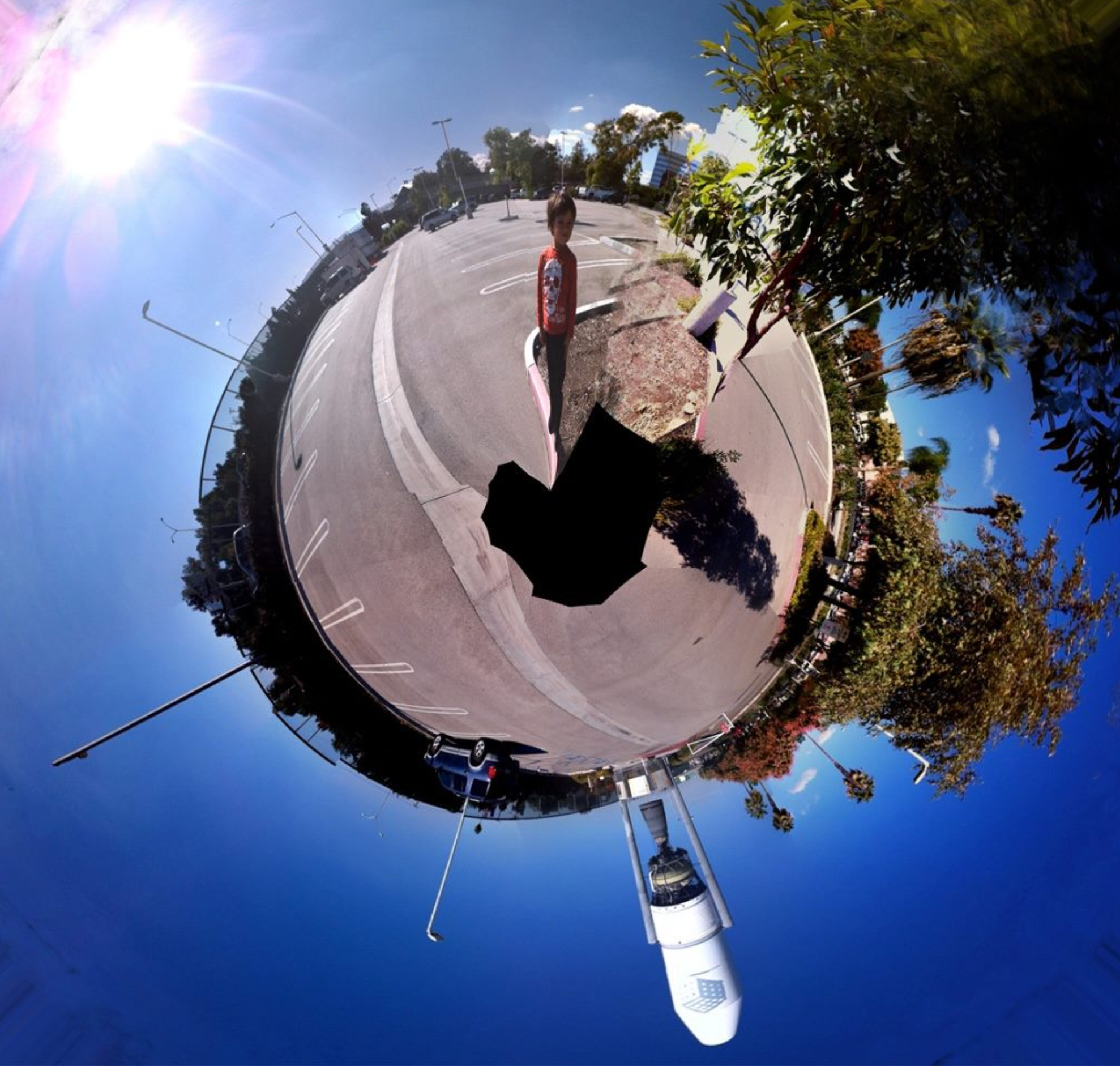
This document was created mapping the cartesian coordinates to the polar coordinates. We were visiting The Cube in Orange County and I shot a 360 panorama of Devin. So the x axis of the image represented the azimuth and the y axes the elevation. After that it was a simple matter of mapping the cartesian coordinates to polar coordinates.
Reach out to me if you want to learn how to do it. Creatively it turned out to be an interesting exercise, my version of the Asteroid B-612 from the Little Prince, complete with a space ship and some baobab trees.